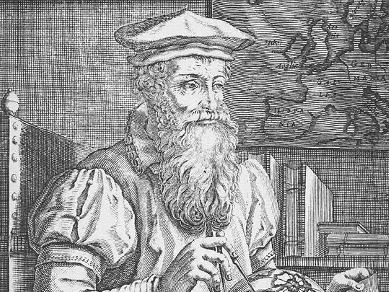
The United Nations voted on Friday (Sep 4) to adopt the ‘Correct the Map’ resolution, led and sponsored by Togo. With a positive response from 164 countries,Flemish geographer and cartographer Gerardus Mercator published a landmark map that will soon be phased out of offices, schools and the atlas, a word coined by him. Mercator in 1569 published the map that would fundamentally alter global navigation and forever change how humanity visualises planet Earth. Nearly five centuries later, his revolutionary grid system known as the Mercator projection remains the backbone of modern web mapping and maritime navigation. Mercator was Born Geert De Kremer in 1512 in Rupelmonde, County of Flanders, Mercator was a polymath who combined mathematical precision with artistic engraving. Beyond designing mathematical instruments and terrestrial globes, he was the first cartographer to coin the term ‘atlas’ to describe a bound collection of maps. However, his most enduring legacy grew out of a practical crisis facing 16th-century sea captains during the Age of Discovery. During the 1500s, transoceanic travel was perilous. Navigating a spherical Earth on a flat piece of paper created serious geometric errors. Ships attempting to sail long distances following straight lines drawn on traditional charts drifted dangerously off course, as straight lines did not align with constant compass directions. Do you think that the correction will of any significance to Africa?

Previous Article
Putin orders 3-day pause in KyivNext Article
The New YouTube